Short Answer
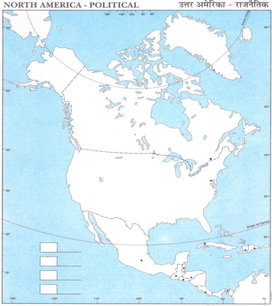
The political map of North America serves not merely as a geographical representation but as a gateway into the complex tapestry of governance, cultural identity, and historical evolution across this vast continent. This continent encompasses nations like the United States, Canada, and Mexico, along with various territories, each unique in its political structure and influence. Understanding the political divisions laid out in such maps piques our curiosity about how these regions interact and the implications of their political boundaries.
At first glance, a political map highlights the borders that delineate countries, states, and provinces. However, a closer examination reveals an intricate network of relationships dictated by historical treaties, wars, and social movements. The map navigates through the historical nuances that shape current international relations. For instance, the geographical proximity of the United States and Canada, the world’s longest undefended border, suggests a collaboration fostered by shared values and economic interdependence, contradicted only by occasional political disagreements.
Moreover, the political map elucidates the linguistic and cultural divisions intrinsic to North America. In Canada, for example, the distinction between English-speaking provinces and French-speaking Quebec emphasizes a dual heritage that welcomes diversity yet also presents challenges in governance. The representation of these divisions on a map invites contemplation on how policy is crafted to accommodate cultural variances. Should English and French be equally represented at governmental levels? How do these linguistic divides affect the political landscape?
The interrelationship of culture and politics does not end with language. The indigenous populations across North America, with their rich histories and specific territorial claims, represent an important aspect of the political map. The existence of reservations and tribal lands brings to light questions of sovereignty, self-governance, and the legacy of colonialism. Each territory represents more than mere geography; it encapsulates the struggles of Native American nations to maintain their cultural integrity and autonomy within a politically defined system often at odds with their traditional ways of life.
Furthermore, the concept of political maps extending beyond mere borders leads us to explore significant political issues such as migration, trade agreements, and environmental concerns. The geopolitical significance of the United States-Mexico border, often a focal point for discussions surrounding immigration policy, offers a case study in how borders can foster both opportunities and conflicts. Understanding these dynamics through the lens of a political map can transform the viewer’s perspective on migration, illuminating the human stories behind the statistics and policies.
In addition to borders, the political landscape of North America is informed by the varied governance structures in place. The federal system of governance in the United States contrasts with Canada’s parliamentary system, while Mexico offers insights into a presidential republic influenced by its own tumultuous past. Understanding these frameworks is essential for interpreting the nature of political power and citizen engagement in each nation, providing a foundation for comparative analysis.
The political map further reinforces concepts of regionalism. The affiliations among states or provinces can significantly impact local governance and policy implementation. The complex interplay of political ideologies—ranging from liberal to conservative—manifests distinctly across regions. Patterns emerge in urban centers versus rural landscapes, prompting questions about representation and equity. This divergence underscores the need for policy approaches that are attuned to local concerns—an inquiry into the nature of political representation.
Climate change, an issue of global proportions, presents yet another layer of complexity when interpreting the political map of North America. Coastal states and provinces face immediate threats from rising sea levels, while others grapple with droughts or wildfires exacerbated by climate shifts. This emphasizes the need for regional cooperation in addressing environmental challenges, forging alliances across political lines toward shared goals. The map invites stakeholders to consider how political borders can hinder or facilitate collaborative efforts to mitigate climate change.
The political boundaries outlined on these maps are more than ink on paper; they represent the aspirations and conflicts of peoples striving for self-determination and governance. As issues like climate change demand international dialogue and collaboration, the political map urges us to reconsider not just where we draw lines, but how these lines affect our collective future. Curiosity about the political landscape should invoke a desire to delve deeper into understanding the socio-political realities that make up our everyday lives.
In essence, a political map of North America serves as a springboard for deeper exploration into the fluid nature of identity and governance. The complex interplay of borders, languages, cultures, and environmental realities creates a rich field for inquiry. As we delve into the intricacies illuminated by political mapping, we are prompted to engage more thoughtfully with the pressing issues that challenge us today. In understanding the significance of these maps, we glimpse a broader horizon—one where geopolitics and environmental stewardship coalesce in the quest for a sustainable and harmonious future.
FAQ
What is a political map of North America?
A political map of North America shows the borders and political divisions such as countries, states, and provinces, highlighting governance structures and cultural identities.
How do political maps reflect cultural and linguistic divisions in North America?
Political maps illustrate divisions like the English and French-speaking regions in Canada, and indigenous territories, reflecting the continent’s cultural and linguistic diversity.
Why is the US-Canada border significant politically?
It is the world’s longest undefended border, symbolizing close cooperation economically and politically, despite occasional disagreements.
How do political maps relate to environmental issues?
They help identify regions vulnerable to climate change effects, facilitating regional cooperation on environmental policies.
Leave a Reply