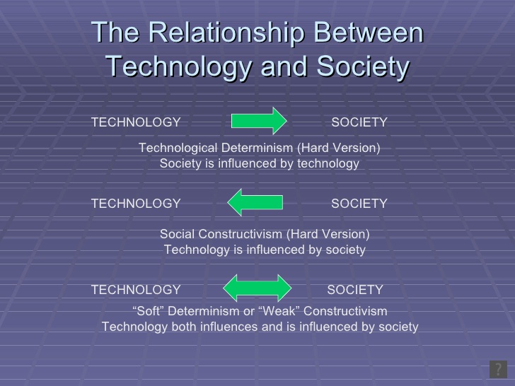
miley cyrus cultural appropriation
Miley Cyrus, a multifaceted pop icon, has consistently captured the public’s imagination, yet she has also faced considerable scrutiny for her ventures into cultural appropriation. This phenomenon is not merely a reflection of individual actions but underscores a broader societal issue regarding the commodification of culture. The narrative surrounding Cyrus invites us to explore important […]